
Filtered by:
- Category
- List
- Grid
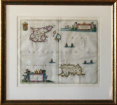

Joan Blaeu (1596-1673)
Map of Jersey and Guernsey, inscribed "Sarnia Insula, Vulgo Garnsey et Insula Caesarea, Vernacule Jarsey", hand coloured engraving on laid paper, ...
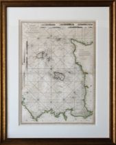
A Chart of the Islands of Jersey and Guernsey, Sark, Herm and Alderney; with the Adjacent Coast of France, dated 1781, with outline colouring, 20½...
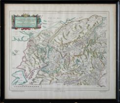
Reproduction map of the central Highlands of Scotland, 19¾ x 23¼ inches (50cm x 59cm)
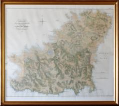
after the 1787 original, framed and glazed, 54¼ x 48in. (137.8 x 122cm.).* Very good condition, good gilt frame.
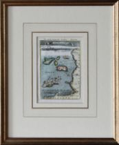
'Is. de Jersey et de Garnesey', copper engraved map, circa 1683, 6½ x 4½ inches (16.5cm x 11.5cm)
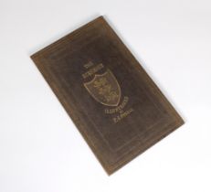
pub. 1884, printed at The 'Chronique' Office, St. Helier, Jersey, with five uncoloured engraved views and map, publisher's embossed blue cloth, gi...
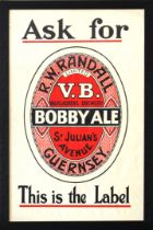
'Ask for R. W. RANDALL LIMITED V.B. VAUXLAURENS BREWERY -BOBBY ALE- St JULIAN'S AVENUE, GUERNSEY - This is the Label' black, red and white print, ...

signed by five to central colour image, four inset CD's, well framed and mounted, 23 x 27in. (58.4 x 68.6cm.), comes with Certificate of Authentic...