Filtered by:
- Category
- List
- Grid
A subscription to the Price Guide is required to view results for auctions ten days or older. Click here for more information

A solid silver map of Great Britain measuring 55cm x 37cm
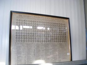
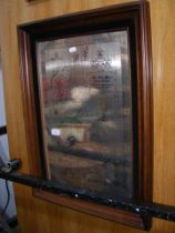
A framed and glazed History Atlas of The Roman Empire coin system
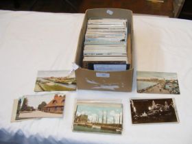
A collection of 450 vintage UK topographical postcards relating to East Anglia, London and the Home Counties
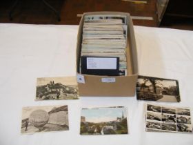
A collection of 450 vintage UK topographical postcards relating to the South-West of England, Dorset, Cornwall and Devon
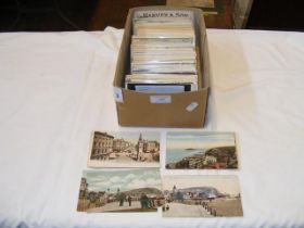
A collection of 450 vintage UK topographical postcards relating to South-East England, Sussex and Kent, Hampshire
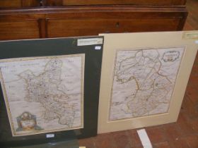
A 17th century hand coloured map of Buckinghamshire by Robert Morden, together with one other of Cambridgeshire
Robert Morden - a 17th century hand coloured map of Leicestershire, together with one other of the County of Lancaster
Robert Morden - a 17th century hand coloured map of Northamptonshire, together with one other of Hertfordshire
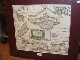
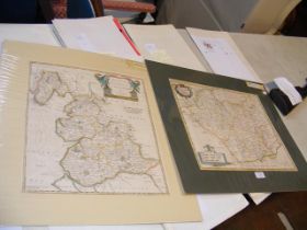
Robert Morden - a 17th century hand coloured map of the smaller islands in the British Ocean including the Isle of Wight
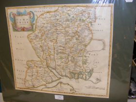
Robert Morden - a 17th century hand coloured map of Hampshire, including part of the Isle of Wight
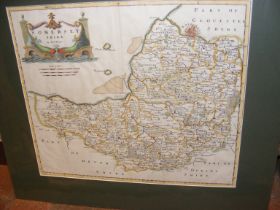
Robert Morden - a 17th century hand coloured map of Dorsetshire, together with Somerset
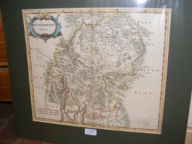
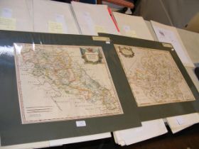
Robert Morden - a 17th century hand coloured map of Nottinghamshire, together with one of Westmorland
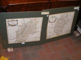
Robert Morden - a 17th century hand coloured map of Gloucestershire, together with one of Cumberland
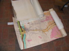
A selection of OS maps and other relating to the Isle of Wight and UK
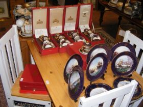
A quantity of Spode, including 'Armada' series collector's plates and cabinet cup and stand sets
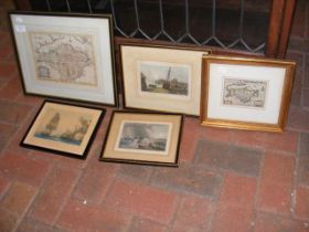
An antique Isle of Wight map entitled 'Wight Island' - framed and glazed, together with other maps and engravings