Filtered by:
- Category
- List
- Grid
A subscription to the Price Guide is required to view results for auctions ten days or older. Click here for more information
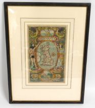

A c.1730 coloured map titled Britannia, image size 275mm x 175mm
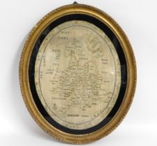
A George III sampler of the map of Britain by E. M York 1804, 645mm x 523mm including frame
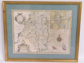
A 1610 John Speed map of County of Leinster, Ireland, glass to rear has crack, 667mm x 540mm including frame
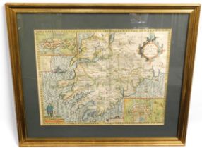
A 1610 John Speed map of Province of Munster, Ireland, 667mm x 565mm including frame
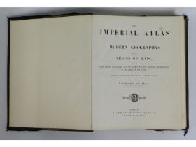
Book: The Imperial Atlas of Modern Geography; An Extensive Series of Maps published by Blackie & Son 1860, with fitted dust cover

Book: The Explorations & Adventures of Equatorial Africa by Paul B. Du Chaillu, 1861, loss to top of gorilla pull out page, some faults with bindi...
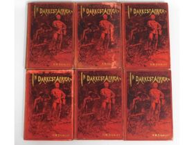
Book: Volumes 1-6, In Darkest Africa by Henry Morton Stanley with maps