Filtered by:
- Category
- List
- Grid
A subscription to the Price Guide is required to view results for auctions ten days or older. Click here for more information
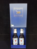

TWO BOTTLES OF HALL & WOODHOUSE BICENTENARY ALE 1777-1977, in presentation box (some fading to box)
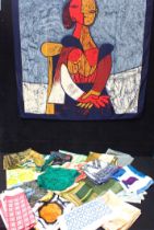
A COLLECTION OF VINTAGE HEADSCARVES; 'PICASSO' Jacqmar, Richard Allan, Liberty, S.M. Kent
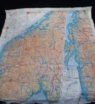
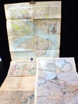
A SILK 'ESCAPE' MAP; NORWAY/SWEDEN FGS/A SHEET A
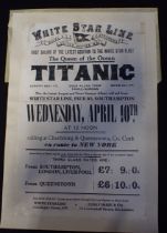
TITANIC' INTEREST: A WHITE STAR LINE ADVERTISING POSTER ** 'FIRST SAILING OF THE LATEST ADDITION TO THE WHITE STAR FLEET, The Queen of the Ocean T...
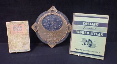
A PHILIPS' PLANISPHERE
A PHILIPS' PLANISPHERE a Collins' Essential World Atlas and a vintage Road Atlas (3)
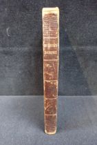
J. McLEOD: 'A VOYAGE TO AFRICA', (OWNERSHIP INSCR. 'Wm WILBERFORCE') pub. John Murray 1820
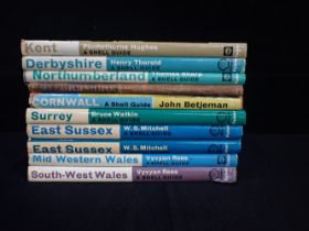
A COLLECTION OF SHELL GUIDES
A COLLECTION OF SHELL GUIDES including Mid Western Wales, South West Wales, East Sussex, Surrey, Cornwall, Oxfordshire, Northumberland, Kent, Derb...
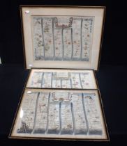
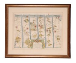
JOHN OGILBY: A ROAD MAP, 'THE ROAD FROM BRISOL TO EXETER' No. 58, coloured and framed 50 x 61cm, and two others; 'London to Dover', and 'London to...
GEORGE RICHMOND, FOLDING MAP OF THE NORTH OF ENGLAND coloured printed sheets back into canvas (poor condition) and two other folding maps
JOHN OGILBY (1600-1676), 'The Road from Dartmouth to Minehead' coloured engraving, 32cm x 44cm, later gilt frame
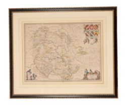
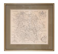
JAN JANSSONIUS (1588-1664), Map of Herefordshire from 'Atlas Novus', coloured engraving, 38cm x 50cm, later frame
CHRISTOPHER SAXTON (1540-1610) AND WILLIAM KIP (1585-1618) Map of Devon from Camden's Britannia, Latin text verso, 35cm x 47.5cm, later gilt frame
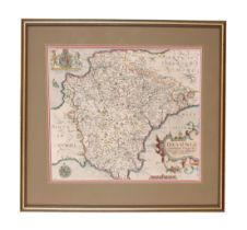
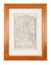
CHRISTOPHER SAXTON (1540-1610) AND WILLIAM HOLE (d.1624), Map of Herefordshire uncoloured, engraving 29cm x 31cm, in later gilt frame
SEBASTIAN MUNSTER (1489-1552), Two Maps of the British Isles from 'Cosmographia' both engravings, the monochrome example 29cm x 18cm, the coloured...
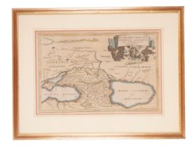
WH TOMS (1700-1765), Map of the Bosphorus and surrounding areas coloured engraving, 21cm x 32cm, later gilt frame